The Project
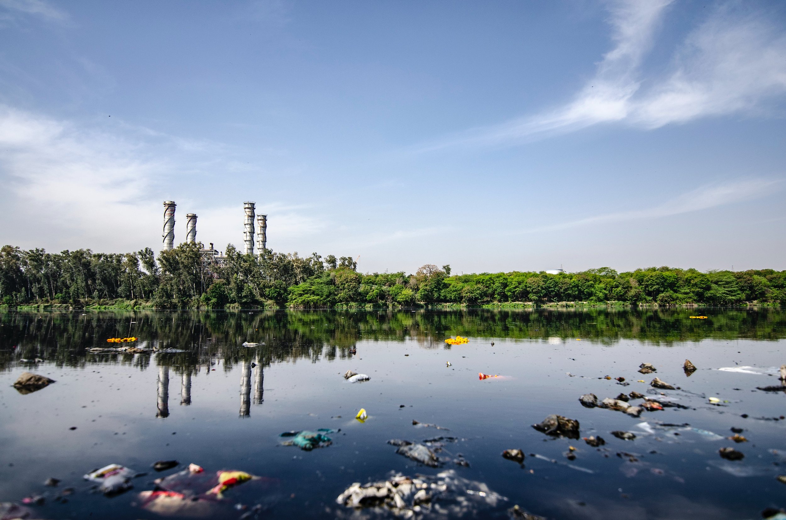
Water pollution is increasing globally, making the so-called ”Invisible Water Crisis” impossible to ignore and vital to action6. Many rivers globally are failing water quality standards, with planetary boundaries for element fluxes (N, P) as well as novel chemical entities (emerging contaminants such as pharmaceuticals) being exceeded, highlighting that humanity has started to move beyond the “safe operating space” for handling these pollutants (Fig.1a). Going beyond the safe operating space means increased risks of tipping points which may irreversibly change ecosystems and the services they provide to benefit society. The resulting environmental and public health impacts are of global concern, causing 9M premature deaths annually and exposing 1 in 6 people globally to contaminated water. This also leads to loss of freshwater ecosystem services18 and real economic costs, reducing global GDP by >30% (Fig. 1b, c).
In this context, we require urgently more detailed understanding of the mechanisms controlling the activation of pollution sources, their connectivity and transport to vulnerable receptor systems. This notably includes the ability to identify locations and periods of substantially increased water pollution. Current water quality management practice is largely based on (unsuccessful) blanket approaches, often targeting individual pollutants and ‘average’ concentration values (e.g., EC Nitrate Directive). Scientifically, we know pollution extremes impact critically on environmental and public health 19. We hypothesise that control points encompassing pollution ‘hot spots’ (sources) and ‘hot moments’ (events) disproportionally affect net catchment water quality, when a significant proportion of the contaminant load is mobilised within river catchments and transported to the river network and then further downstream. Conceptually, pollution hotspots and hot moments are agreed to have significant impact on water quality locally. However, their cumulative importance beyond this, at river basin scale and for longer-term pollution dynamics is largely unknown. We need to diagnose and contextualise these patterns to inform local to global adaptation and mitigation strategies and develop interventions to keep within safe(r) operating spaces of the Planetary Boundaries.
SMARTWATER will integrate environmental sensing, network and data science innovations, and mathematical modelling with stakeholders’ catchment knowledge to transform the way we diagnose, understand, predict, and manage water pollution hotspots and hot moments.

Monitoring Stations
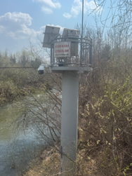
Hydrological Observation Station in Shexian, Huangshan, Anhui Province
The Yuliang Hydrological Station is located within the courtyard of the Shexian Hydrological Survey Team Headquarters in Huangshan City, Anhui Province.
Current observation items include precipitation, evaporation, air temperature, ground temperature, humidity, wind speed, and river discharge.
In addition, a new water quality monitoring network is being established to continuously monitor key water quality parameters across five nested catchments. At the downstream site — the Shexian Station — in-situ fluorescence and UV absorbance sensors are also deployed to characterize nutrient dynamics and DOM properties in real time.
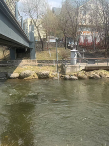
Changbai Mountain Hydrological Monitoring Station, Yanbian, Jilin Province
The Changbai Mountain Hydrological Monitoring Station is responsible for hydrological monitoring in the Changbai Mountain region. Its key functions include the dynamic observation of surface water, groundwater, and water levels, as well as water quality assessment and hydrological forecasting for flood and drought management.
Building on this foundation, a new water quality monitoring initiative is being implemented to capture key physicochemical and biogeochemical parameters across five nested catchments. At the downstream site—the Changbai Mountain Station—advanced in-situ sensors measuring fluorescence and UV absorbance are being deployed to provide real-time insights into nutrient behavior and DOM composition, enhancing the understanding of aquatic processes in this ecologically significant region.